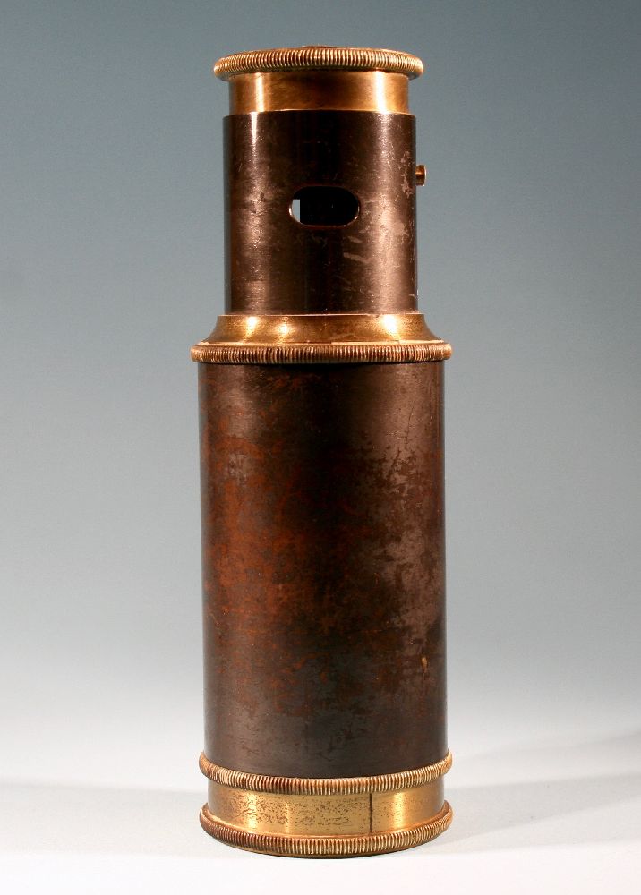

Title: Antique Survey Instrument Measuring Tool Brosset F. Paris
Shipping: $29.00
Artist: N/A
Period: 19th Century
History: N/A
Origin: N/A
Condition: Excellent
Item Date: 1900 to 1940
Item ID: 6646
Antique field surveyors tool: Even today these old devices are still used to measure vast expanses of land, particularly in rural areas. They use it to measure the length and breadth of land. This kind of tool has been in use since the 1850s. A The measurements are based on the Pythagoras theorem. Ever wonder who marks where one property line stops and another starts? These boundaries were probably designated by a surveyor. Surveying is the science of measuring and mapping relative positions on or above the ground. Surveying has been a part of the human environment since the beginning of recorded history and even today we rely on surveying in transportation, building and construction, communications, and the definition of legal boundaries for land ownership. The need and desire to measure and map the land for various reasons is an ancient one, and so too is the art and science of surveying. Classical geodetic surveying is based on the geometry of triangles computed on the curved surface of the Earth. Essential to that geometry is knowledge of scale, which is provided by measuring distances of strategically located sides of triangles.
https://en.wikipedia.org/wiki/Surveying
Surveying or land surveying is the technique, profession, and science of determining the terrestrial or three-dimensional position of points and the distances and angles between them. A land surveying professional is called a land surveyor. These points are usually on the surface of the Earth, and they are often used to establish land maps and boundaries for ownership, locations like building corners or the surface location of subsurface features, or other purposes required by government or civil law, such as property sales.